Karda Bidi - a Whadjuk Trail
- Out and About

- Oct 21, 2023
- 7 min read
Updated: Aug 25, 2025
The Whadjuk Network of walking trails lies on Noongar land, connecting remnant bushland areas in the western suburbs of Perth. They offer a unique experience and appreciation for the land with links to iconic, heritage and Noongar trails in the area. They cater for a large variety of interests and depending on the trail, offer expansive city skyline views or stunning views across the Indian Ocean and along the coastline.
Trails are well marked with directional signs that include an icon and are suitable for all walkers, with a moderate level of fitness required in places. Users should look for triangular markers in footpaths and bollards along the route. Information relating to fauna, flora, and indigenous cultural heritage, is contained within the trails. The majority of trails are cycle friendly and can be enjoyed in sections to suit walkers' abilities and available time.

The Karda (Monitor Lizard) Bidi (Trail) is 10.6km long starting, according to the map, from Rosalie Park and finishing at Claremont Jetty. The trail is fairly level as it follows riverside paths but there are stairs and steeper sections. The trail has options of walking along the river beaches or taking an alternate paved path on higher ground. Please Note that if you wish to walk along the beach sections look up the tidal charts as sections can be impassable during high water levels and you will have to divert to the paved sections. Another side note is that if you walk from Rosalie Park to Claremont the city views will be behind you. My preference, having walked in both directions, is to walk from Claremont Jetty to Rosalie Park but this blog follows the route as per the map above.
As a one way trail you can walk from Claremont Jetty to Claremont Station and catch a train to Shenton Park Station where it is a short walk to Rosalie Park. Alternatives are listed at the end of this blog.
We walked this trail to close the loop after walking the Karak Bidi Trail from Paul Hasluck Reserve through Claremont to Rosalie Park. Rosalie Park is a lovely park shaded by mature trees. A new colourful playground hugs the hill alongside multi sport courts. Make sure you duck in behind the Onslow Road Tennis Club to have a look at the Rosalie Community Garden.
From here rather than walking along busy Thomas Street we opted to walk to the Perth Children's Hospital and then crossed the busy road using the colourful Koolangka Bridge. We had actually parked in Kings Park at the May Drive Playground so returned to our car here.
When we started our walk earlier that day from here we wandered the bush tracks adjacent to Thomas and Winthrop Roads and used the underpass at Mounts Bay Road/Stirling Highway to cross into the UWA grounds. The Karda Bidi trail follows the major roads to get to Matilda Bay but we found it much more pleasant wandering through the UWA campus revisiting some of the artworks we had seen on our Walking Subiaco - Crawley and UWA Art and Architecture walk, to get to Matilda Bay.
Matilda Bay is nothing short of stunning and Matilda Bay Reserve is a fabulous place to spend a day out with river beaches, calm waters for swimming, kayaking or hopping onto a SUP, the Bayside Kitchen for meals or snacks, picnic and barbecue facilities and toilets. No time to stop today so we enjoyed the city skyline views as we wandered on.
After crossing the road leading to Perth Yacht Club the trail meanders through a short section of bush before emerging at Pelican Point Reserve (Katamburdup) and J.H Abrahams Reserve (Goordaandalup) which has a lovely shaded nature playground, large grassy areas and a scattering of metal cut-outs with information on the area's Noongar history and more recent history including how Qantas operated it's Catalina flying boats from this bay.
The trail continues to follow the edge of the river passing a riverside event venue before entering Charles Court Reserve on the Nedlands foreshore and passing Nedlands Yacht Club.
As the trail passes Paul Hasluck Reserve you will see Gallop House perched on the hillside. You then pass the Perth Flying Squadron Yacht Club before coming out at Beaton Park, home to the fabulous fully fenced Jo Wheatley All Abilities Playground. This is the perfect place for a play - yes even adults as there is a specialised seniors playspace - and a toilet stop.
From Jo Wheatley Playground you can head up the hill to Birdwood Nature Playground and the Sunset Precinct - this is the preferred option if you are not able to negotiate the stairs beyond Otto Point. Here you can also choose to join the Karak Bidi Trail which backtracks to Gallop House before heading inland.
The Karda Bidi Trail continues along the riverfront through Otto Point Reserve with it's beautifully shaded casuarina grove. You can detour along the river by walking a short distance along the beach but you will need to return to climb the stairs to Iris Avenue, passing some magnificent riverside mansions.
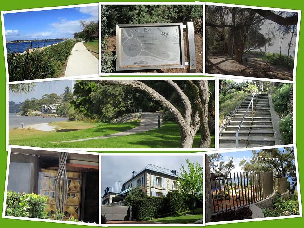
At Iris Avenue detour to wander through the Sunset Heritage Precinct established in 1904. Formerly an old men's home and long-term care hospital Sunset is one of WA's largest and most intact heritage sites with some fascinating history.
At the other end you will find Birdwood Nature Playground, a small nature playground with barbecues, picnic tables and toilet access.
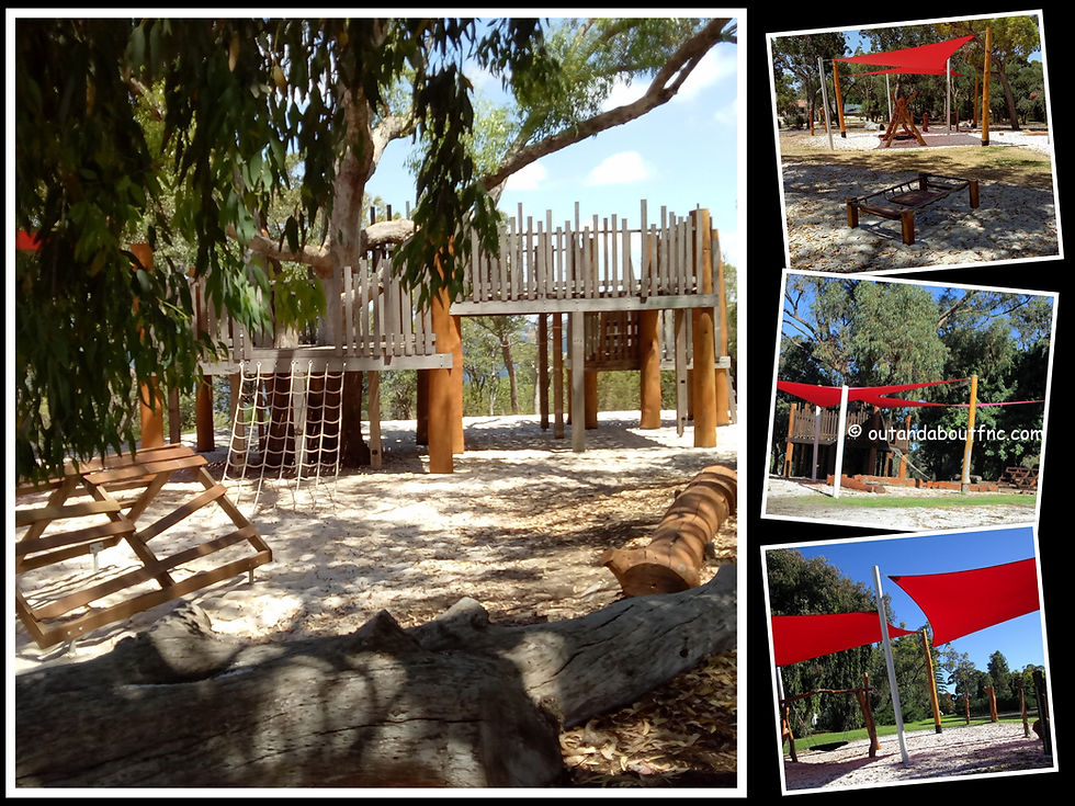
Head back to Iris Avenue to resume the trail as it passes along Jutland Parade and it's riverfront mansions.
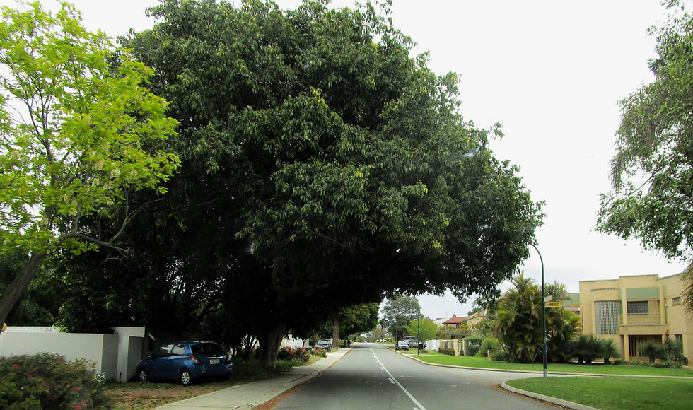
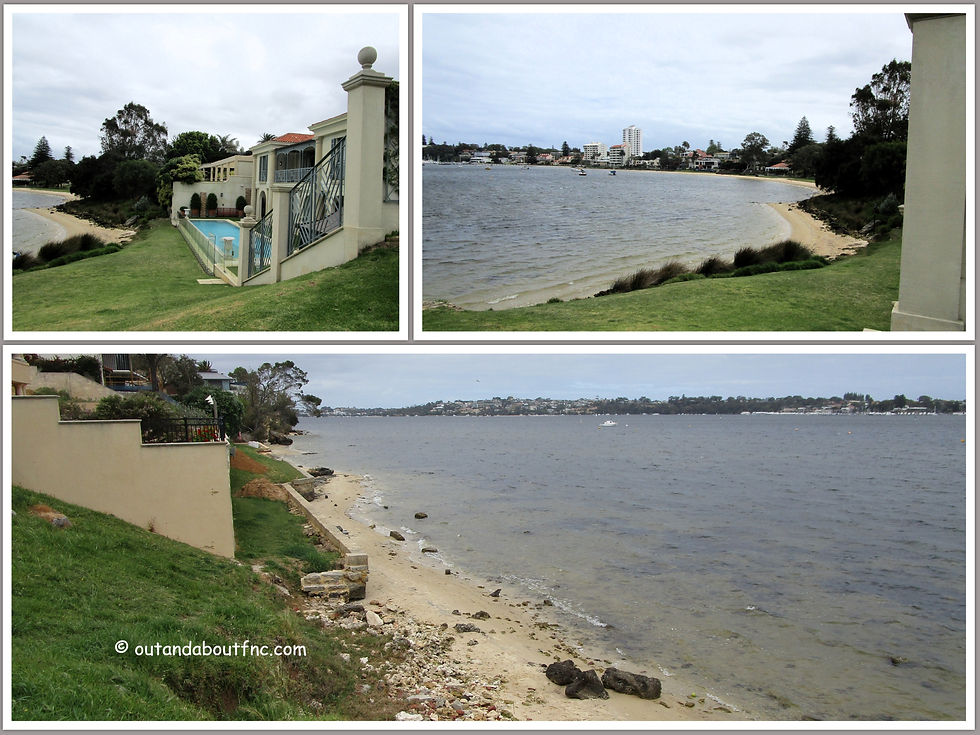
As you come to Point Resolution (Mandyooranup) there are many offshoot trails that you can explore. Some have stairs, others paved paths leading to the beach area which looks over Point Walter in the distance. There is also a small nature playground here but no toilets. From Point Resolution the trail follows the beach so check predicted water levels if you don't want to get wet toes. You can detour overland by following Victoria Avenue to Bishop Road Reserve.
At Bishop Road Reserve you have several options depending on water levels. You can climb up off the beach and follow leafy Victoria Avenue or if you are able to get past the rocky outcrop you can continue along the beach and riverfront.
The above photos show the beach between Point Resolution and Bishop Road Reserve - the top photo shows easy access with a wide stretch of beach whereas in the lower photo the water levels are higher with a narrow strip of beach.
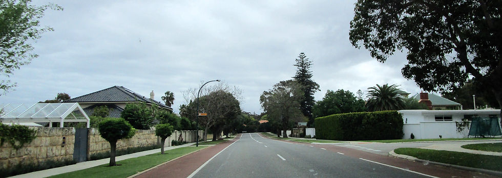
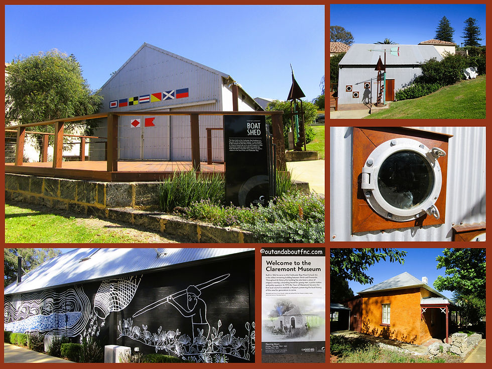
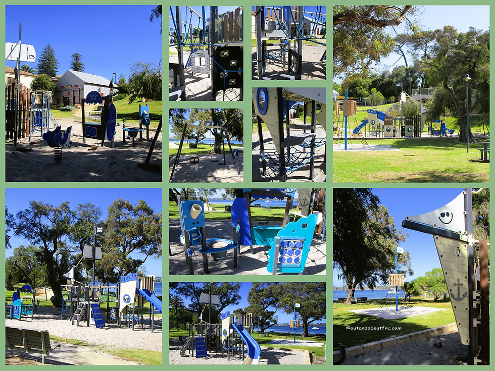
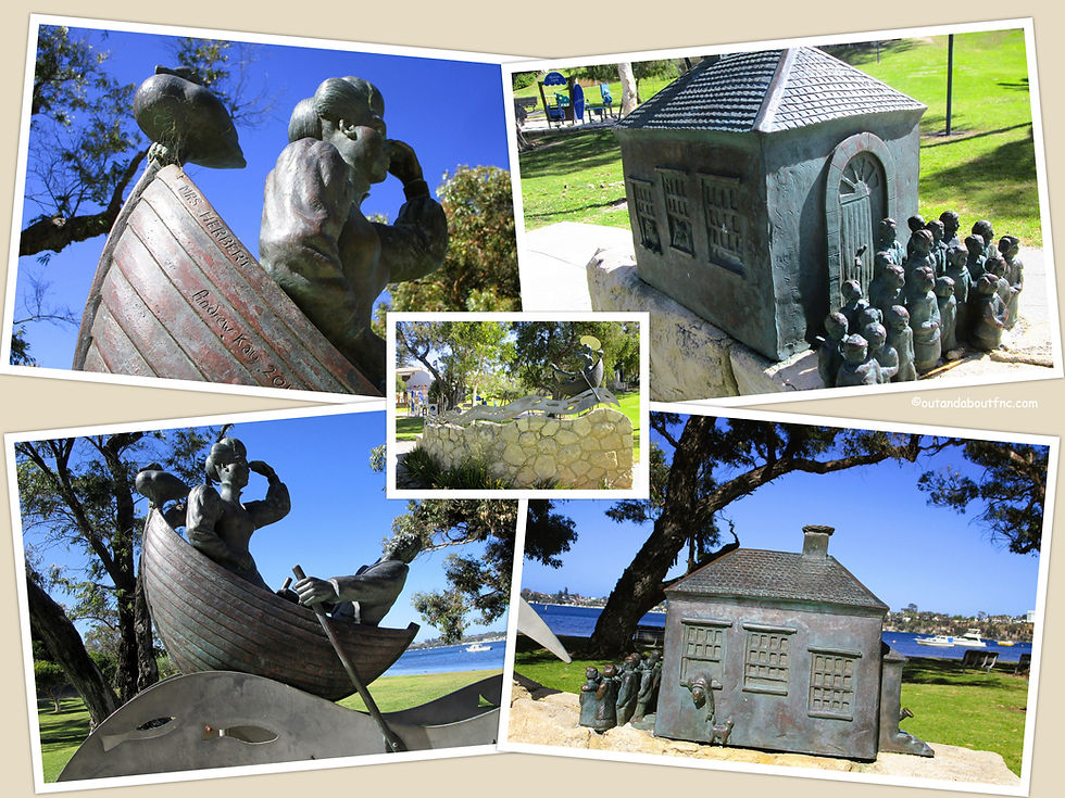
If you are unable to get around the rocky outcrop at Bishop Road Reserve when you walk along Victoria Avenue there are a number of cul de sacs such as Waratah Place and Adams Road which will allow you to return to the beach. From either direction - Victoria Avenue or the beach you will arrive at Mrs Herbert's Park with it's boat themed playground, toilets, and interesting artwork. This is where you will also find the Freshwater Bay/Claremont Musuem. Originally constructed in 1862 the building functioned as the first school between Perth and Fremantle. Throughout its history the building has also been a place of religious worship, a boarding house for young men, a police station and police quarters. The Town of Claremont opened the building as Claremont Museum in 1975 after it had been relinquished by the Police Department, making it the first metropolitan council-owned museum. The Museum collects, preserves, interprets and exhibits the cultural heritage of Claremont and the area of Freshwater Bay.
A little further along is Alex Prior Park with a lovely steep hill perfect to roll or slide down.
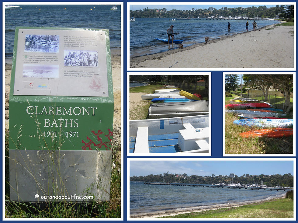
Continue along the river foreshore passing the site of the Claremont Baths where many learnt to swim on the Swan River between 1902 and 1972.
And finally you arrive at the endpoint of the Karda Bidi, Claremont Jetty, which is very scenic as it juts out into Freshwater Bay (Curveergaroup) but is also a popular fishing spot. The trail meets up with the Yange Kep Bidi here, another Whadjuk Trail.
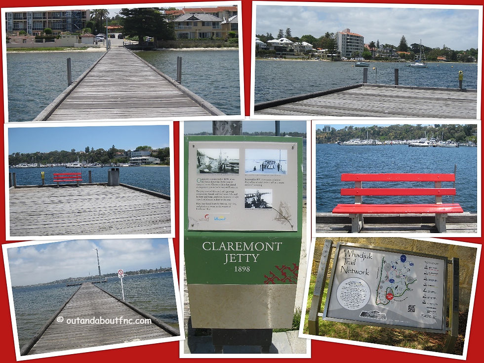
Interpretive signs in bushland areas have QR codes so you can listen to Aboriginal stories and songs and learn additional information about the fauna and flora in the area. You can also download the free Whadjuk Trail Network Mobile App by clicking here.

If you are walking in reverse from Claremont Jetty to Rosalie Park the trail markers will point behind you.
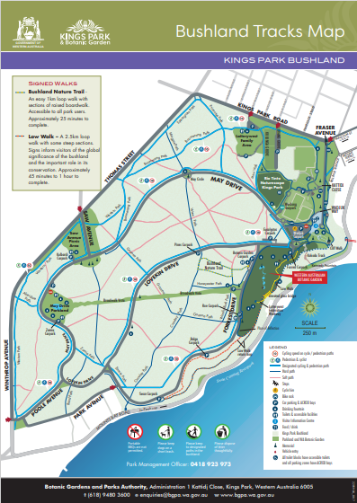
Parking is available at Rosalie Park but is restricted to 2 hours street side or is paid parking. Rosalie Park are playing fields so they also get busy on weekends. Our preference if starting from this end, is to park along May Drive in Kings Park, near the Zamia Cafe and May Drive Playground to access toilet and picnic facilities. You can then follow the Kings Park bush trails to emerge onto Winthrop Avenue near UWA.
Starting from Claremont Jetty parking can also be difficult. Although parking is free and plentiful along Bayview Terrace on the weekend if you are walking on a weekday you may prefer to park elsewhere in the Claremont Town Centre but fees or restrictions may apply. It is a short walk down Bayview Terrace from the Claremont Town Centre to Claremont Jetty.
This trail links with the Yange Kep Bidi Trail which takes you from Claremont Jetty to Galup - Lake Monger. You can also link this trail with the Karak Bidi trail by following Bayview Terrace and meeting the Karak Bidi at Stirling Highway to continue to close the loop to Rosalie Park adding an additional 5 - 6 kms to the walk.
There is also an overlap of this trail with the Claremont Meanders - Cobblers and Convicts Trail and the trail intersects with the Bush to Beach Trail at Rosalie Park.
To read more blogs go to:
I love wandering along trails, both marked and unmarked, and sharing my discoveries with my Out and About FNC community. If you enjoy reading my blogs please consider a small donation which will be used towards the costs of keeping the website up to date, ad free and relevant.

In the spirit of reconciliation Out and About- Family Nature Connection acknowledges the traditional owners of the Wadjak boodjar (Perth land) and their connections to land, sea and community. We pay our respect to their elders past and present and emerging and extend that respect to all Aboriginal and Torres Strait Islander peoples today.




Comments